“ . . . turning points, from which things will never be the same.”[i]
It had been raining for two days and nights, and the gale force winds were gusting to forty and fifty miles per hour. As I started out walking the trail with my dog, Ben, a friend and his dog were just leaving. Nellie and Ben greeted each other, as did Sam and I. We were the only ones out in this gale. Sam told me how a friend, when he found out Sam was out hiking in this, told him he was “possessed.” We laughed and went on our separate ways, though I would later reflect that indeed he was, we were, possessed of the unexpected gifts of being out in this weather.


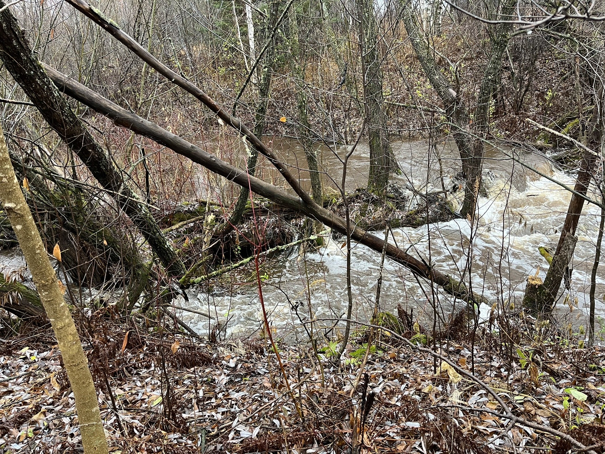
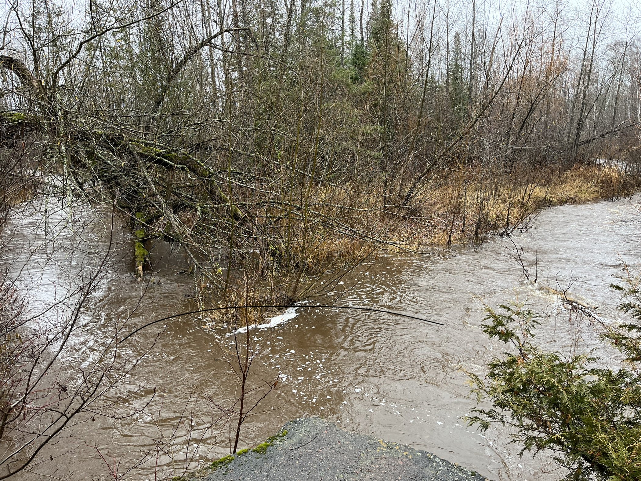
The trail runs along Amity Creek, and the Amity was about as high as I’ve ever seen it, gushing and gurgling, overflowing its banks, making waterfalls where before there were just logs and rocks. As I rounded a corner, I came face-to-face with a 6-point buck, just twenty feet in front of me. I suppose he and I should have both been startled, but instead we just exchanged looks for a moment, the buck looking a bit bewildered by the howling winds and the changed creek, as if to say, “Can you help me find my way?” I gave him space so as not to alarm him, and he turned and ambled down to the creek bank, clearly wondering how he could possibly get to the other side. He paced up and down looking for a place to cross, and finally gave into the fact that he could no longer easily walk across it, and needed to swim. After I watched him safely reach the other side, we walked on. At the confluence of the main branch and the east branch of the Amity the water was especially high. There we encountered two does on the trail, and two more on the other side, wandering, looking disoriented, seeming confused that there was now a rushing river where the day before they could easily step across the creek. I wondered if, like so many affected by the floods and storms of climate change, they, too, had lost their home. I hope they found their way.
With the waters so high, it seemed a good day to search for the rest of the east branch of the Amity. I’d been aware of its existence, having seen where it joins the main creek countless times, but never thought much about it until the “Rewilding” course I’m taking invited me to reflect on my relationship with the watershed where I live.[ii] I’ve appreciated how in the part of Michigan where I’ve spent many summers, signs along the roadsides indicate when one is entering a different watershed, but here I needed to go in search of it. Fortunately, our city has mapped the watersheds of all 43 of the named streams here, and as I had thought, I live in the Amity watershed.[iii] It’s my favorite of the many streams in Duluth, and like its name, feels like my friend. I’ve walked different sections of it nearly every day for over forty years, and yet when I looked at the map of the watershed, I was surprised to learn of all of the Amity I’ve never seen, just as we’re often surprised when learning things we’d never known about long-time friends. I’ve never once traversed any part of the east branch, nor even seen where it flows.
But now I was ready to set out to explore this creek I had thought I knew so well. I’ve driven this main road countless times without ever seeing it. But now, looking for it, I spotted it well below the surface of the road. I never would have seen it had I not been looking. Witch, permaculturist, and author Starhawk taught me this lesson. As I drove her around Duluth on one of her return visits to her hometown, I remarked that I thought she had gotten her vision in her book, The Fifth Sacred Thing, of busting up the roads so the streams could run free, from memories of growing up here where parks, rather than the urban grid, had been built around free-running rivers and streams – Lester Park, Chester Park, Keene Creek Park, Lincoln Park. She queried, “Are you sure the streams aren’t culverted?,” just as we drove over the place where Chester Creek is culverted under 4th Street. She continued talking about how so much of the wild water has been hidden from view, channeled, buried, diverted to human use. Losing sight of it, we lose knowledge of it, and subsequently, also no longer care for it. What we can’t see, we can’t know, and what we can’t know, we can’t love. And now, here again, I found that the east branch of the Amity was channeled into a culvert under the road.
Nevertheless, I was quite excited to have found it. The watershed map showed me other roads it crosses, or I should say, that it is culverted under, and I was in search of it. Driving on West Tischer, I peered along the sides of the road – Ah, there it is! I was excited to have found where it flows on either side of the road, and then again on Arnold, and soon found myself exploring up and down the maze of mostly rural roads in the Amity watershed. I could hardly contain my excitement as I discovered the winding path of the Amity and explored this whole other part of the Amity watershed. In a true watershed moment, I felt connected to these lands in a way I hadn’t before. Like finding a whole part of a family tree of which one had no previous knowledge, here I had found so many new relations.
This was the point of the watershed exercise after all – to grow our sense of connection, physical and spiritual, with the many neighbors in the watershed where we live – those who live here and share this water – the chickadees, snowshoe hares, deer, beaver, squirrels, spiders, bracken fern, goldenrod, aspen, birch, cedar, oak, white pine, crows, trout, frogs, mallards – we are all connected. I feel an expansive awareness of kin as I consider the ways in which the stream connects us all.
In my process of discovery, I learned that the Amity is considered the west branch of the Lester River, and so my sense of my watershed expanded. Because the Lester and Amity flow into Lake Superior, I searched as well for maps of the Lake Superior watershed. I was surprised how far west into Minnesota that watershed extends – deep into mining country where for years a distant corporation with no immediate connection to this watershed has wanted to build a copper-nickel mine that would threaten all of the many waters in this great watershed that links all of us in Canada, Wisconsin, Michigan, and Minnesota. We are bound together through our common source. From this I expanded the search to the St. Lawrence watershed, extending our community through Canada and all of the Great Lakes to the Atlantic. I found nothing when I searched for the Atlantic watershed, which of course would include the eastern parts of the Americas and the western parts of Europe and Africa, and even this is too limited, for the division of the waters of the world into six named oceans is arbitrary, since actually they all join together in one body of water.
Here it is -- the ultimate watershed moment – the recognition that all the ways we have divided ourselves from each other -- by boundaries of state and nation; constructs of race; religious and political beliefs; constructed binaries of body/mind, male/female, human/nature – are artificial and arbitrary. What affects one affects all. Like the culverted waters, we just haven’t been able to see it, but as the waters of the world show us, we are all our relations – kin in this great watershed of the world.
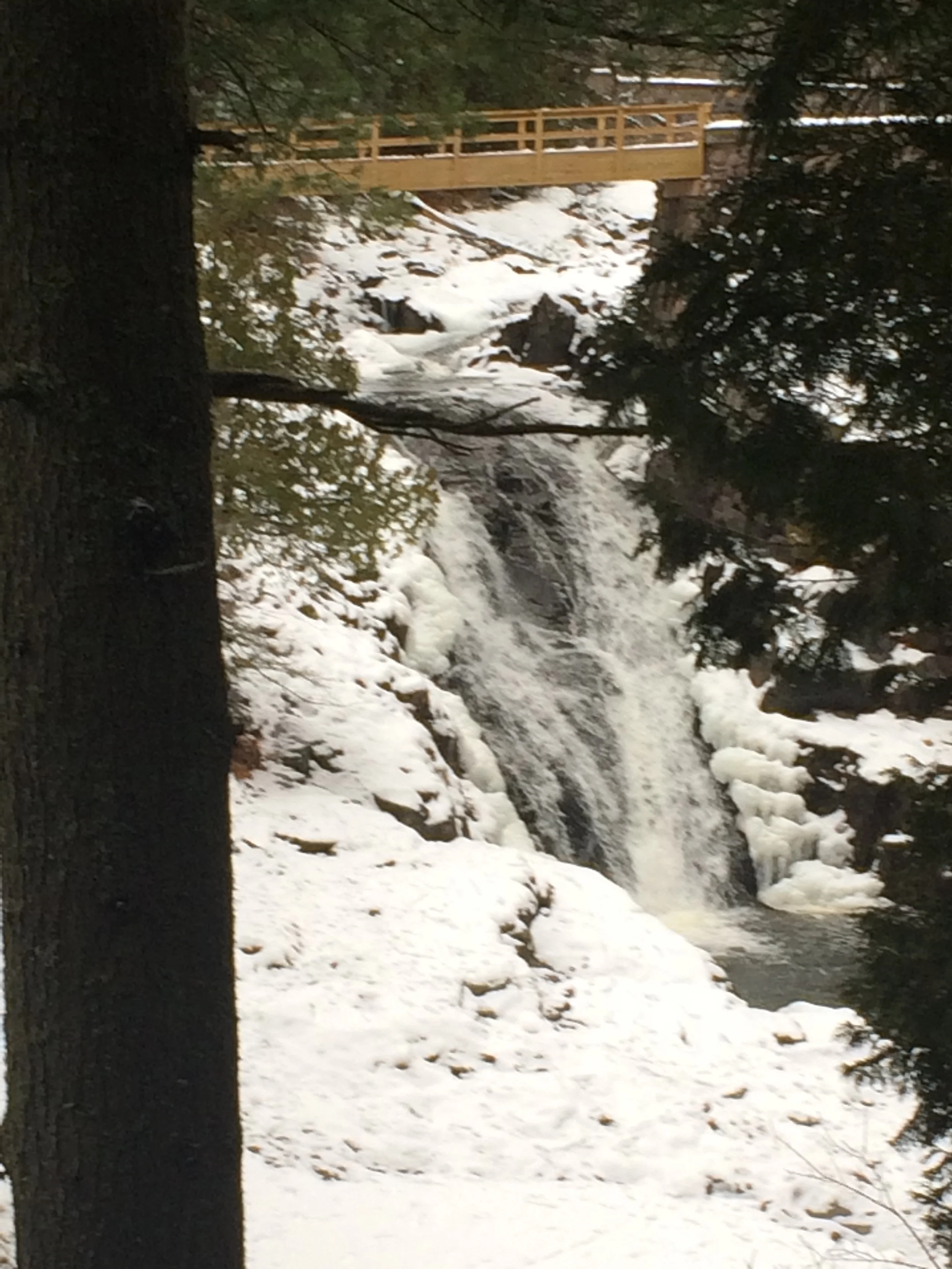
The high falls on the Amity in Lester Park.
References
Starhawk, The Fifth Sacred Thing. New York: Bantam, 1993.
[i] Watershed moment Idiom Definition (grammarist.com)
[ii] The course is “Wild Seasons: A Year-Long Rewilding Journey,” created by Mary DeJong. Waymarkers.
[iii] Lake Superior Streams - The Streams. The city also provides so much other information about the watershed – the water chemistry and quality, stressors, issues, history, land use, and more. I learned that 2% of the Amity watershed is “urban use” – the grocery store, hardware store, and a few scattered other shops; another 2% is “developed rural” – probably the neighborhood where I live and a few others. The rest is forest, grassland, and wetlands. Just 1% of it is the creek itself. I’m sad to learn that the condition of the Amity is “impaired,” apparently because of murky water, though everywhere I look, it seems crystal clear. When I click on “History,” expecting to find the history of the creek itself, or perhaps of the indigenous people who lived here for thousands of years, I’m disappointed to learn that the only history is of white men’s development of the nine stone-arch bridges that cross the lower sections of the creek.


